
About me
Independent geologist working in applied geology for civil engineering and land-use planning.
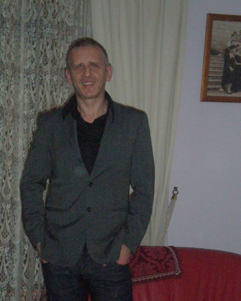
I am Massimo Pasquale Fedele, an independent geologist based in Desenzano del Garda, and I carry out assignments throughout Italy, mainly in eastern Lombardy and the neighbouring areas of the Veneto region; surveys can also be carried out in other European countries.
Over the course of my professional career I have gained experience in the geological, geotechnical and geophysical characterisation of the subsoil, working in support of designers, construction companies, technicians and public administrations. I define the geological and geotechnical model of the site, carry out in-situ investigations and geophysical surveys with my own equipment, and draft the technical reports required by the Italian Building Code (NTC) and by current regional regulations.
My work includes geological consulting applied to civil engineering, with particular attention to subsoil investigation and exploration, studies for shallow and special foundations, assessment of the geotechnical conditions of soils and the management of hydrogeological issues related to building and infrastructure works.
I also deal with hydraulic and hydrological invariance, dispersion and infiltration systems in the subsoil, land reclamation and restoration, geophysical surveys, geological and geotechnical compatibility studies, geoarchaeological investigations and technical consulting in geological, environmental and forensic matters.
Today, as an independent professional, I put the expertise gained over the years at the service of clients, offering complete, technically rigorous geological services tailored to the specific characteristics of the site and of the planned works.
Every assignment starts from the analysis of the local geological context and from the choice of the most appropriate investigations, with the aim of obtaining parameters that are representative of the real conditions of the subsoil and of building a coherent interpretative picture from the geological, geotechnical and hydrogeological points of view.
My professional goal is to provide the designer with reliable, verifiable and properly documented data to support the subsequent design choices, and to prepare for the competent authorities technical documents that are complete and consistent with the regulatory framework, reducing as far as possible the need for supplements or later requests for clarification.
Alongside technical competence I adopt a hands-on approach: from planning the investigations to carrying them out, from interpreting the data to drafting the final documentation, I personally follow every phase of the assignment.
Background
- Degree
- Degree in Geological Sciences, University of Rome «La Sapienza» — April 1991
- Licence
- State examination for the practice of the profession of Geologist
- Registration
- Order of Geologists of the Lombardy Region — Section A, no. 1416, with the qualification of Specialist Geologist
- Continuing education
- Continuous professional development (APC) in accordance with the Order's regulations
How I work
- Direct signature
- Reports are drafted and signed directly by the geologist in charge, in compliance with the Code of Ethics
- Verifiable data
- Every result is traceable: from raw field data to the parameter adopted in the report
- Integration
- I join the design team from the preliminary stages, to steer decisions when they matter most
- Privacy
- Data processing in compliance with Regulation (EU) 2016/679 — see the privacy notice
Surveys carried out with our own equipment
Owning the equipment means faster turnaround, full control over the quality of data acquisition and lower costs for the client.
Active seismics
24-bit seismograph with 24 vertical geophones (natural frequency 4.5 Hz) for 1D and 2D MASW and seismic refraction tomography with a sledgehammer source.
Passive seismics
SR04 Geobox three-component seismograph (Sara Electronic Instruments) with three orthogonal high-resolution velocimeters (4.5 Hz) for HVSR microtremor measurements.
In-situ tests
Dynamic penetrometer, equipment for falling-head permeability tests and for excavating exploratory pits and trenches.
Processing and checking. Data are processed with dedicated technical software and subjected to independent verification procedures developed in-house, to validate dispersion curves, inversions, velocity profiles and geotechnical parameters before they are adopted in a report.
Let's work together on your project
Tell me what you need: I will reply with the most suitable technical and economic proposal.